

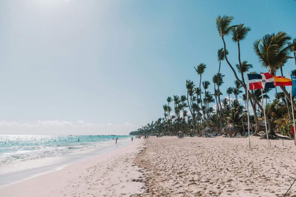
Explore The Caribbean
with Ease
Your next unforgettable adventure is waiting — crystal-clear waters, vibrant cultures, and hidden gems are just a click away.
Are you already packed?
“Discover the Caribbean, One Island at a Time”
Uncover the unique stories, customs, and natural wonders of each Caribbean destination. Learn essential travel facts, cultural highlights, and hidden experiences to help you choose the island that fits your style — before you book your stay or flight.


Explore Top Destinations
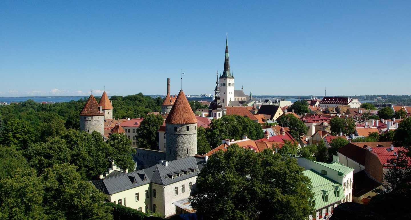
Journey to the World’s Most
Breathtaking Places


200
Flight Booking
109
mazing Tour
100
Cruises Booking
225
Hotel Booking
Tailor-Made Travel Experiences
Your Journey, Designed Just
for You


Hear From Our Adventurers
See Why Clients
Love Us
Nunc volutpat sagittis cursus. Praesent sed dolor pellentesque, consectetur velon sit amet, pharetra ipsum. Fusce europ ultrices tortor. Praesent vehicula commodo purus at vulputate one of the most popular tourist place.
“Henry is one of those rare designers who combines technical skill with a true understanding of user experience. He didn’t just deliver beautiful designs—he helped us think through the user journey and fine-tuned every detail. The final product is not only gorgeous but also incredibly intuitive. He’s a true creative partner.”

Jonathan Reed
Expert Tips & Guides
Plan Smarter with Our Insights
-
On:
By:
Hello world!